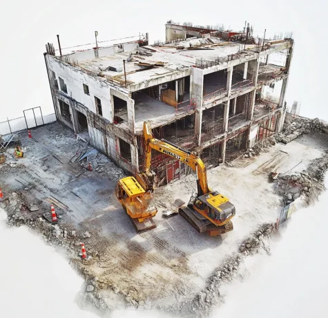
We use the scientific method of photogrammetry to measure objects’ distances, sizes, and spatial dimensions. Photogrammetry aerial uses overlapping images to create accurate 2D and 3D models of objects and…

We use the scientific method of photogrammetry to measure objects’ distances, sizes, and spatial dimensions. Photogrammetry aerial uses overlapping images to create accurate 2D and 3D models of objects and…